This Highway 12 scenic byway is pretty amazing! We keep making a day out of small portions of
it! After two days, we’re about ½ way through it. Today (Sunday, March 12th) we drove from Panguitch to Cannonville,
but did three sidetrips. The first was along the East Fork Sevier
Scenic Byway to the Tropic Reservoir, which is part of the water management
program in the area. It was still pretty
snowy up there, but neat to see.
 |
| Tropic Reservoir |
On the way back, we stopped and did a hike just past Bryce Canyon. It took us up to a mossy cave with icicles in
it (weird to see moss and icicles in the same place), and also along the Tropic Ditch, which is the 10-mile long canal that the
early Mormon settlers dug (by HAND!) between 1890 and 1892, and is another
integral part of the water management/irrigation system in this area.
 The second off-shoot to the scenic drive was to Kodachrome Basin State Park, which was a great side trip! It is essentially the bottom “stair” in the Grand Staircase of geologic canyons and basins in the Escalante area. It is much older, geologically, than Bryce Canyon (which is the top stair in the staircase). The exposed formations in Kodachrome are the Navaho sandstone (white) and the Keyenta sandstone (orange), whereas in the Bryce Canyon, the pink hoodoos are Claron limestone (much younger).
 |
| John, in front of the main "chimney" |
We saw several “chimneys” and “sandpipes” in the Kodachrome park, which are thought to be the remnants of geysers back millions of years, left standing by erosional effect of the softer sandstone formations surrounding them.
So, again, what we saw today is entirely different than what we’ve seen previously in Snow, Zion, Red and Bryce canyons. This is truly a remarkable place.
 |
| Western Scrub Jay (bird) in tree, enjoying the view along with us! |
 |
| Sandpipe in front of sandstone formation(s) |
Kodachrome Basin State Park was named by a National
Geographic journalist who was doing an article on the Escalante area in
1949. They secured the rights to the
name from Kodak/Eastman and the name stuck.
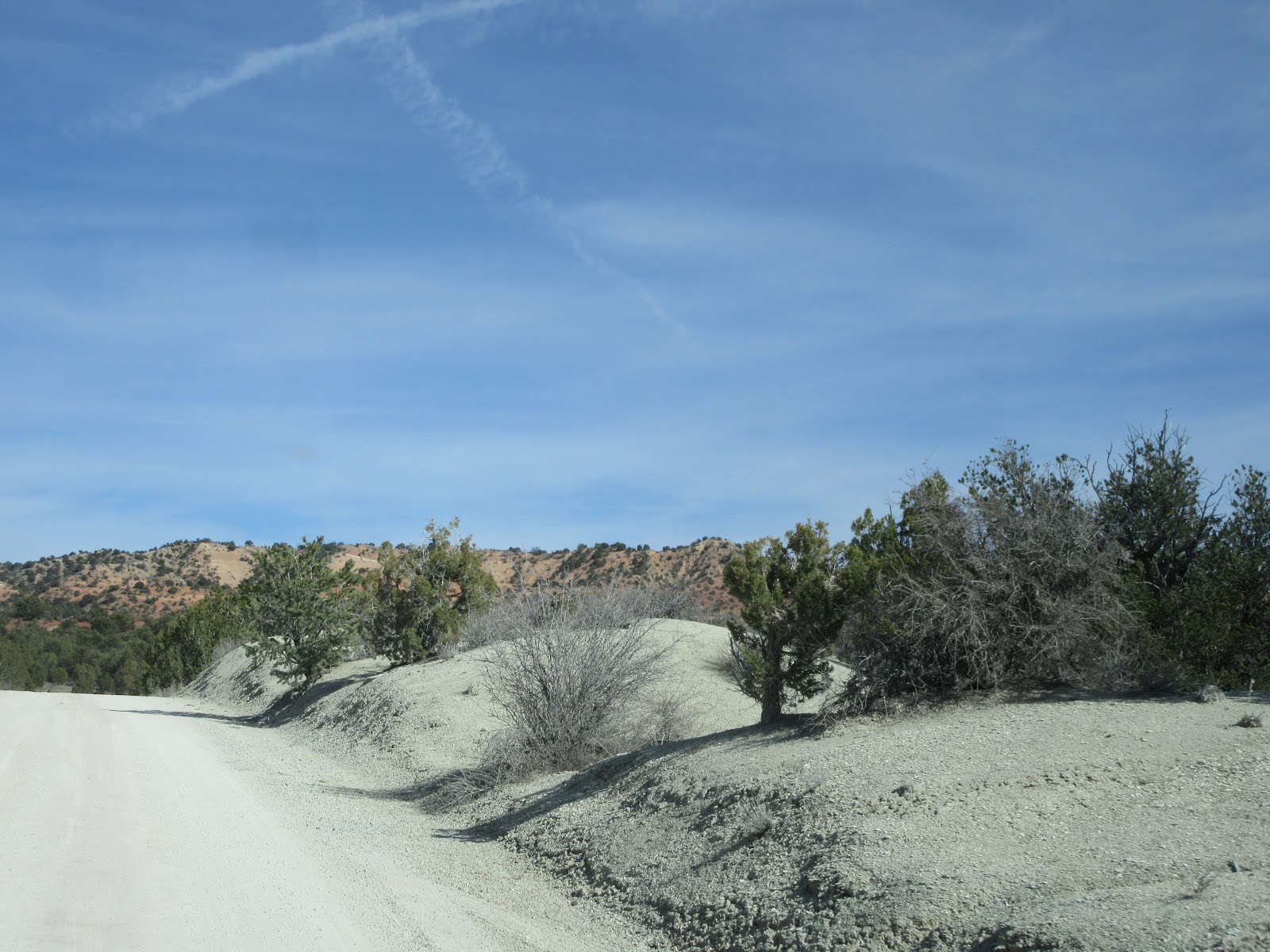
We then continued south along Cottonwood Canyon Road, and came across some amazing vistas on our way to Grosvenor’s Arch. There were actually green hills amongst the orange and white sandstone formations!
 |
| "Green hills"!!! |
 |
| Lovely views on the Cottonwood Canyon road |
 |
| John, in front of the double arch |
Grosvenor's Arch is
actually a double arch and is very beautiful.
It’s named after Gilbert Grosvenor who was the founder of the National
Geographic Society. We spent some time walking around the area, and met some
folks from Tuscon, AZ (Kelly and Ben) who are travelling the area as well, and
they commented that if this were anywhere else but Southern Utah, this National
Monument would be a National Park. But
as it is southern Utah, in this Garfield County alone, there are TWO National
Parks, THREE State Parks, ONE National Monument and TWO National Scenic Byways.
The Garfield motto is: “Take your time”. Indeed. We are, and we are loving it.
 |
| Skirting Bryce Canyon on our way back to Panguitch |


 The second off-shoot to the scenic drive was to Kodachrome Basin State Park, which was a great side trip! It is essentially the bottom “stair” in the Grand Staircase of geologic canyons and basins in the Escalante area. It is much older, geologically, than Bryce Canyon (which is the top stair in the staircase). The exposed formations in Kodachrome are the Navaho sandstone (white) and the Keyenta sandstone (orange), whereas in the Bryce Canyon, the pink hoodoos are Claron limestone (much younger).


No comments:
Post a Comment